Selected work
What the work looks like.
Marketing & Brand Content
— for your socials & ads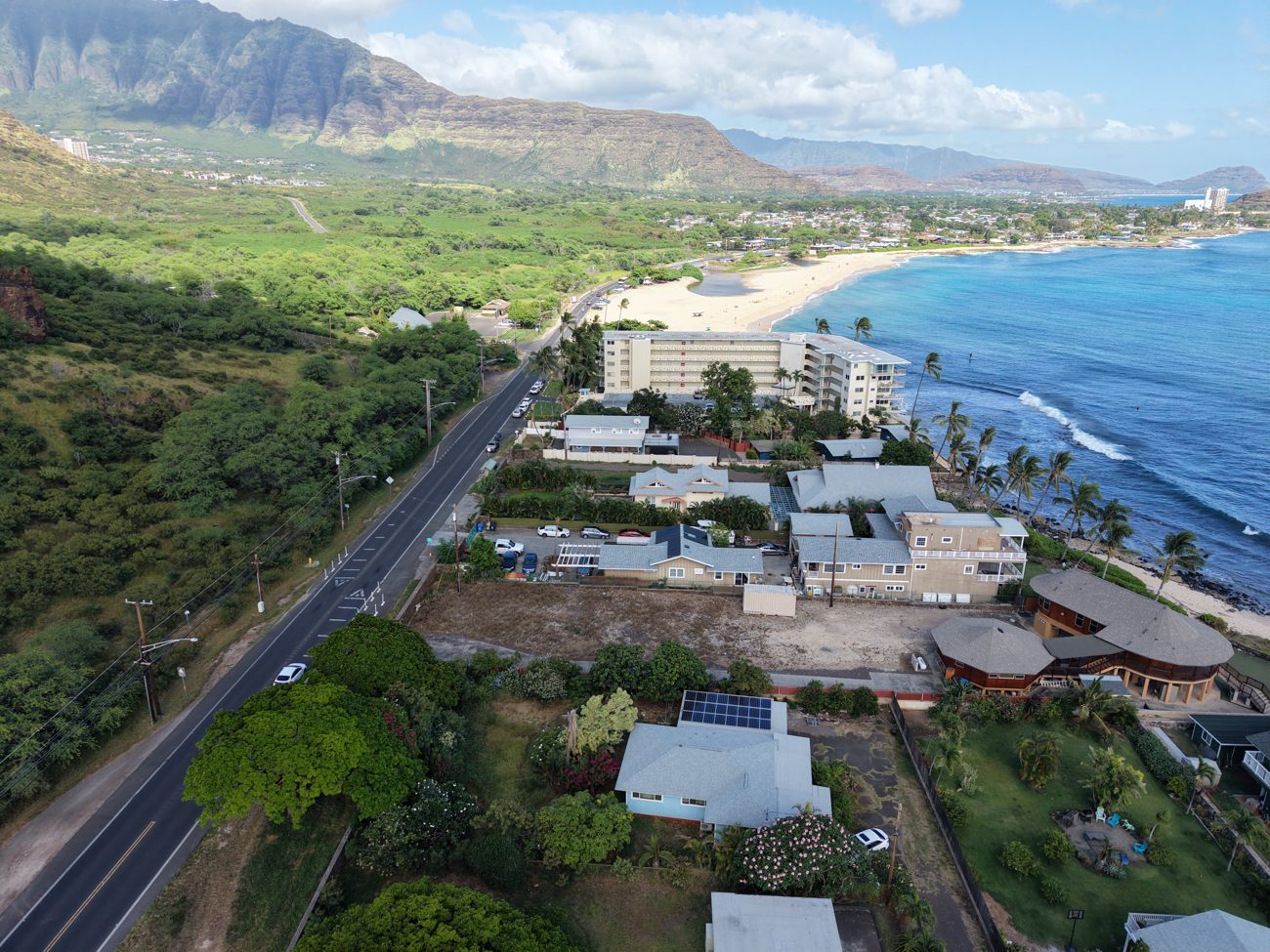
Beachfront, town, and mountains — the whole setting in one shot.
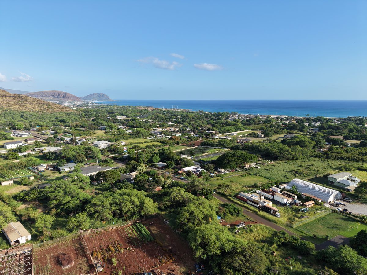
The lay of the land — homes, open lots, and the coastline beyond.
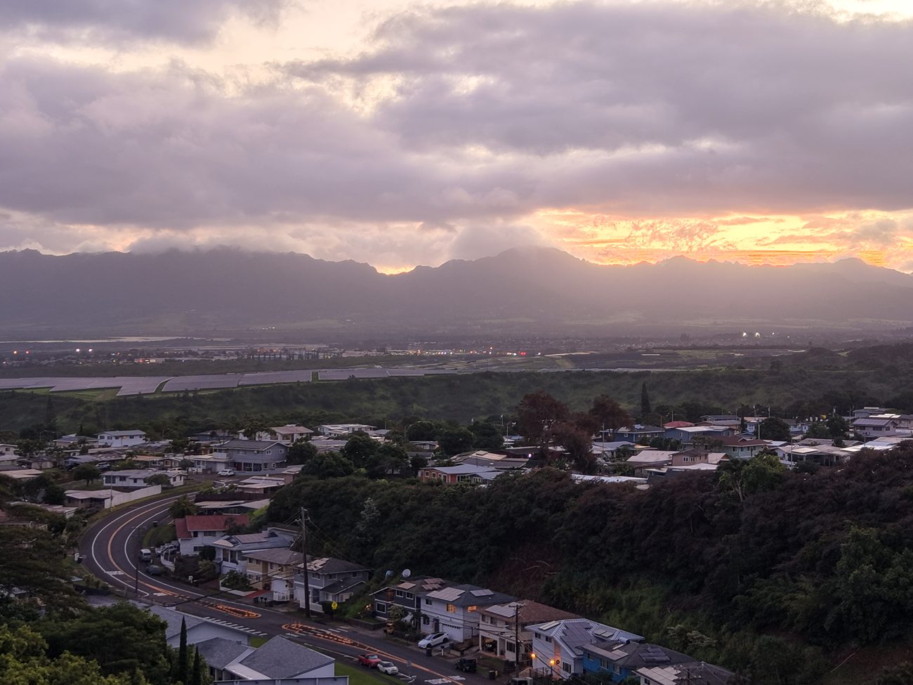
Golden hour over the neighborhood — the shot that stops the scroll.
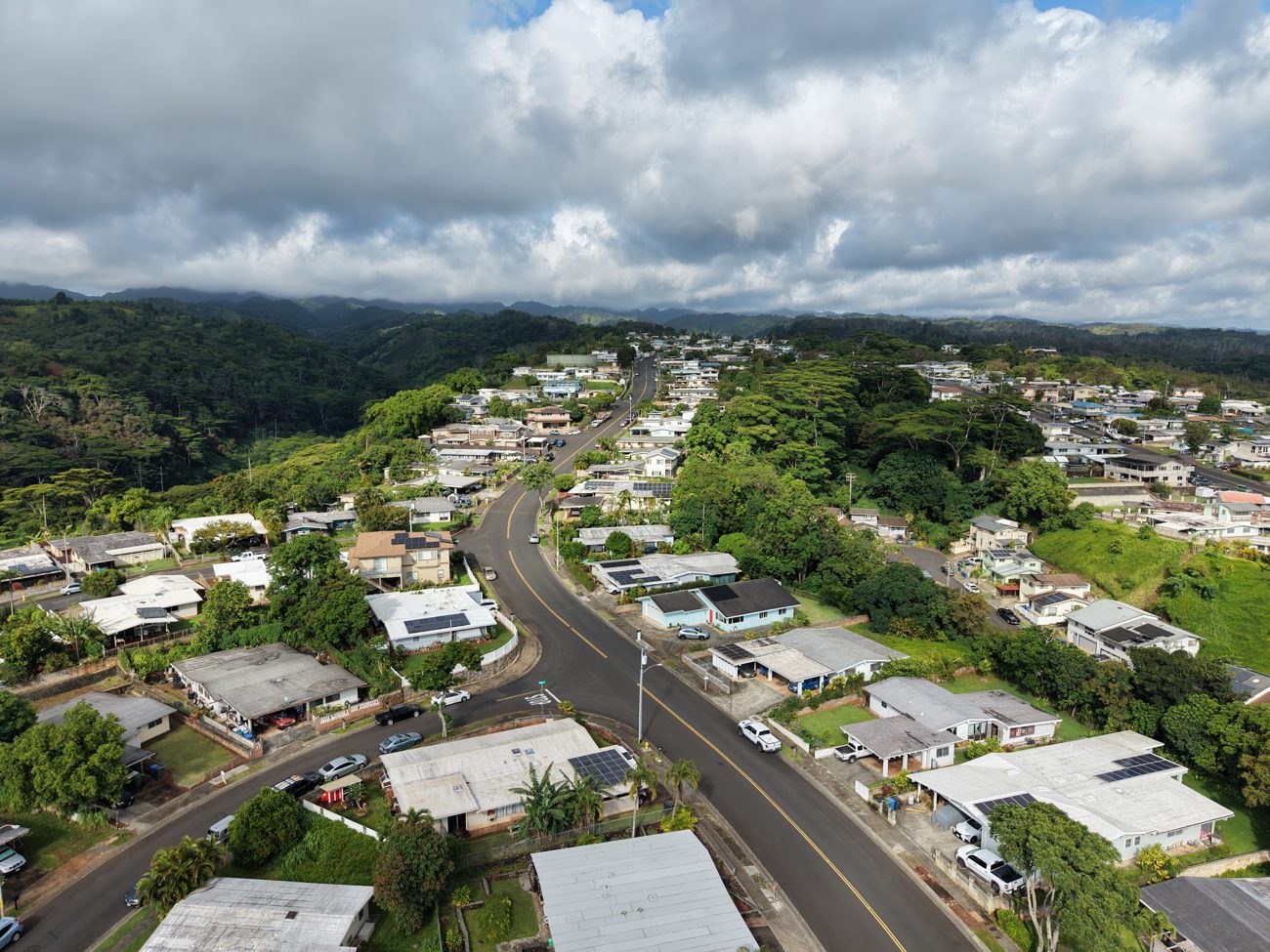
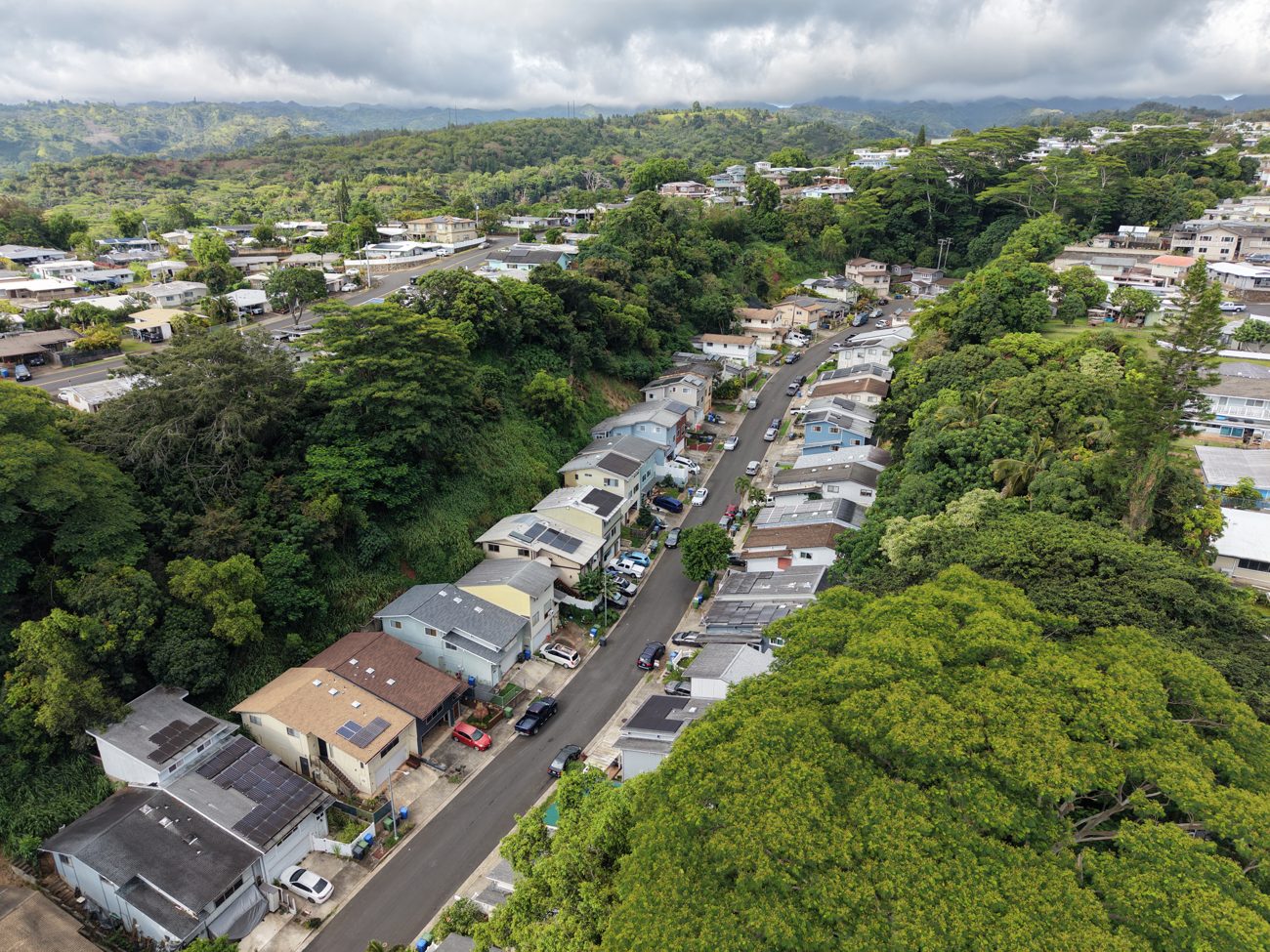
The whole neighborhood in context — streets, homes, hills.
Roof & Site Documentation
— for roofers, restoration & construction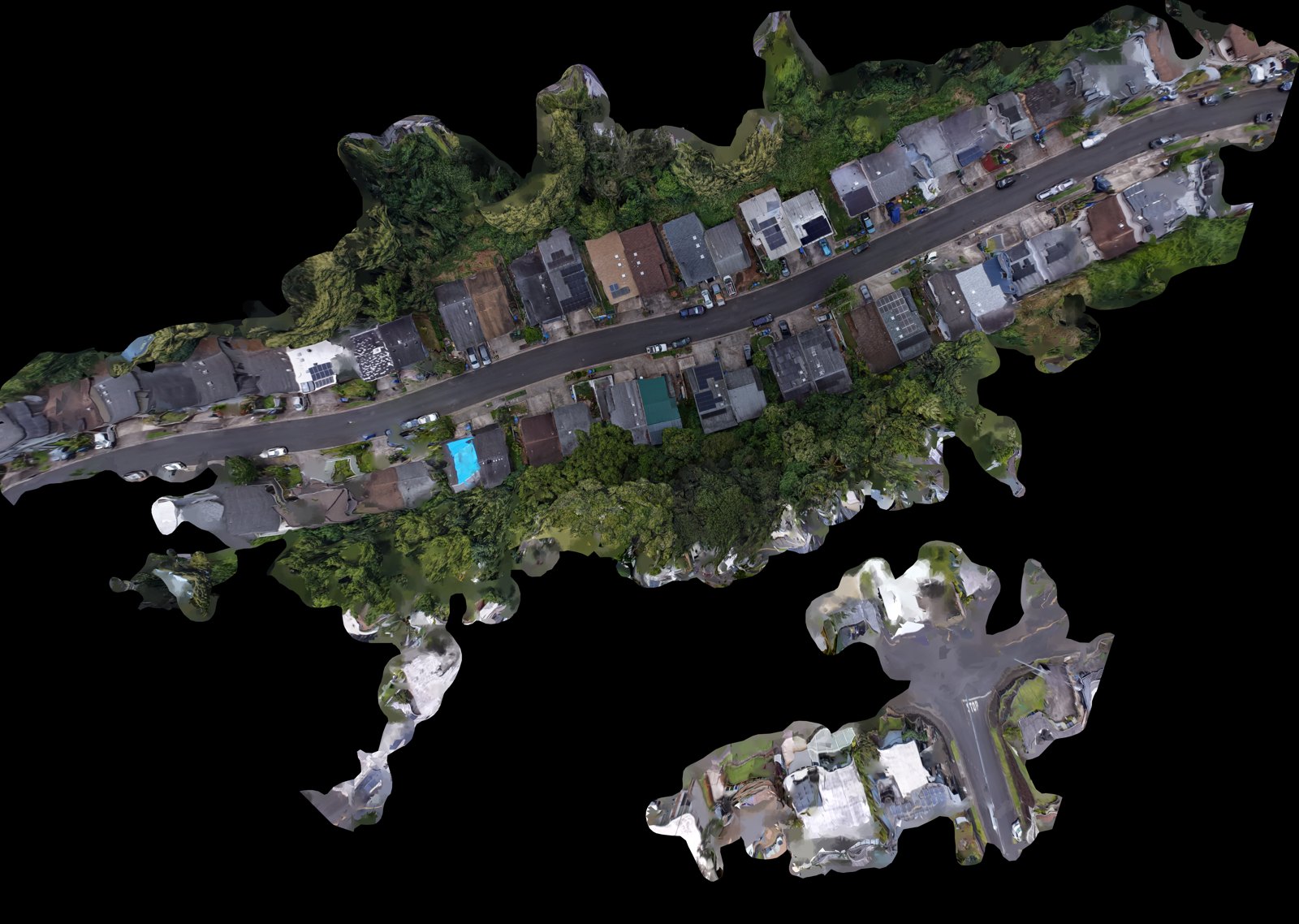
ORTHOMOSAIC · the whole roof & site in one stitched top-down view.
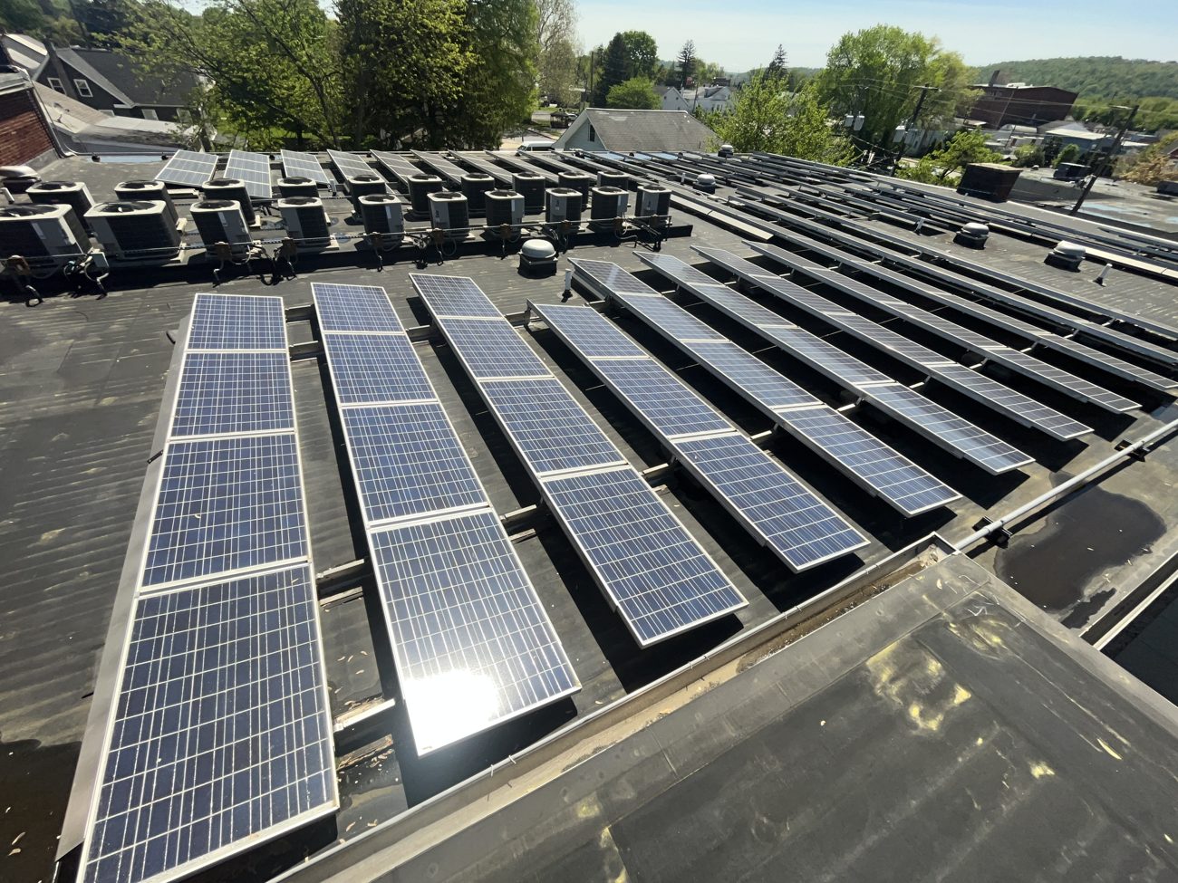
COMMERCIAL ROOF · condition & equipment from above.
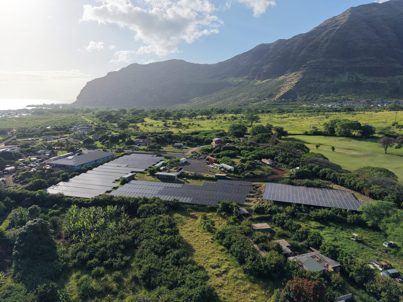
SITE CONTEXT · terrain, layout & access in one frame.
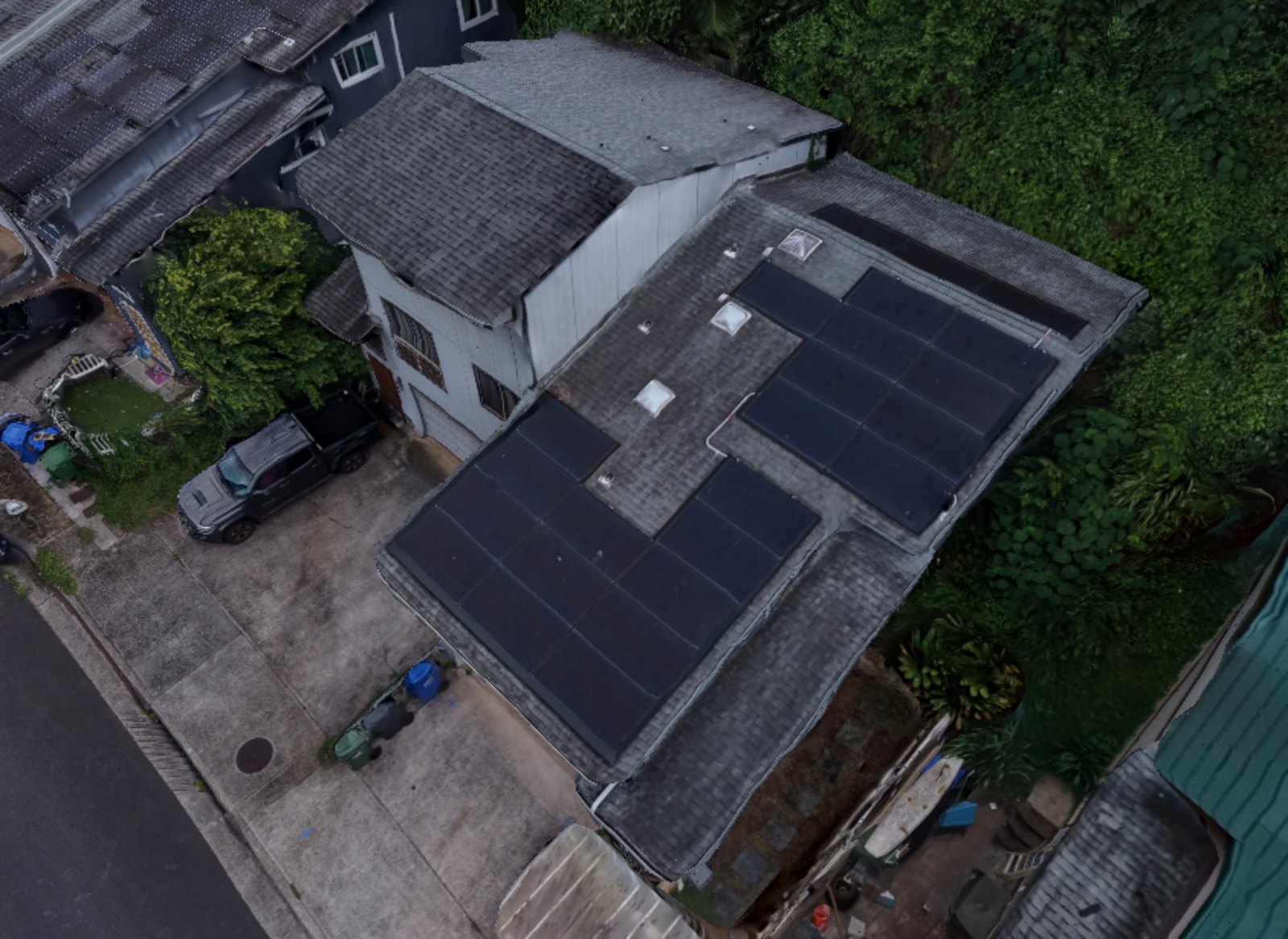
ROOF & EQUIPMENT · a full roof and its rooftop gear, from above.
NEIGHBORHOOD ROOFS · roofs & context across a block.